We provide an array of geospatial solutions which are customer-tailored in Land, Hydrographic, UAV, GPR, Topographical and Engineering Surveying services etc at minimal cost.
Land, Topo, 3D LiDAR, GPR & Drone Survey
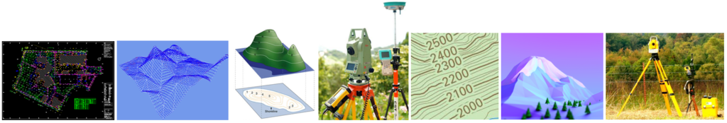
We offer a wide range of Land surveys, Engineering surveys, Topographical Surveys and Mapping Services and Solutions using latest and state-of-the-art Surveying equipment in Rwanda and Africa region at large. Other services include: Bathymetric and Hydrographic survey, Drone mapping and image processing, Underground Utility Scanning using Ground Penetrating Radar (GPR), 3D Terrestrial Scanning Services, Thermal Mapping, Geodetic and Control Surveys among others. Our services & solutions have been tried and tested by various clients within Africa. You'll never go wrong by choosing Drone Sky Line LTD!
Talk To Us
Find out how our service can improve your business.
WhatsApp us
story about japanese mom with son and his friends |its not a movie,its a real sexy video mecum.porn propertysex inexperienced agent surprises real estate investor with her skills
micro suspender sling shot nude naked microkini monokini extreme pussy nude
indiansexmovies.mobi exhibitionist cosplayer fined and sentenced for exposing herself in public