DRONE MAPPING SERVICES IN AFRICA

Our main goal is provide reliable Drone Mapping technology products, services and solutions that meet our clients' needs at minimal cost.

Drone Survey & Mapping

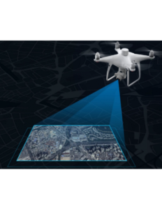
Unmanned Aerial Vehicles (UAVs) popularly known as Drones have become proven technology in the sphere of Aerial Mapping and Survey. Our Licensed Pilots by RCAA, use Drones or UAVs as well aerial mapping/survey services which are increasingly becoming the go-to solution for many Geospatial professionals and industries. we're at forefront in employing latest drone/UAV technology incorporating SenseFly hardware (drones) and Pix4D software products. Below is a simple workflow of Drone Images/Big Data processing.

Flight Planning
1: Entails selecting area to be mapped and can be done using the SenseFly eMotion Software.
Drone Mapping
2: Drone or UAV is launched after flight planning to fly and capture the images within AoI defined.
Data Process
3: Employing Pix4D, Drone Deploy and Agisoft among other software to process drone images.

Notably, the spatial resolution of the drone images decreases considerably with increase in altitude but the drone is capable of capturing large image scenes. With the drones, one can obtain an image of up to 2cm Spatial Resolution!

FAQ

Most frequent questions you may ask yourself
Arguably, using Drones will lead to a large increase in the amount of physical data being collected, this does mean an increase in office time spent processing and utilizing this data. However, this expansion is canceled out many times over by the huge time savings a drone produces out in the field. Many of senseFly’s surveying customers say, for example, that large jobs that once took weeks can now be completed in just a few days, and that a week’s worth of traditional data collection is now achieved in just one day. Last but not least, less time spent on the ground means staff safety is improved by minimizing risk to surveying teams when measuring sites such as mines, unstable slopes and transport routes. Simply choose take-off and landing locations that are out of harm’s way.

Talk To Us

Find out how our service can improve your business.