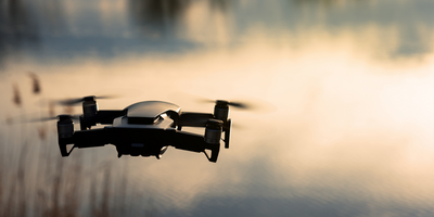
DRONE Environmental Site Monitoring
SERVICES IN AFRICA
Our main goal is provide reliable Drone Environmental Site Monitoring technology products, services and solutions that meet our clients' needs at minimal cost.
Environmental Site Monitoring
We provide real time information to emergency planners by monitoring evacuation, identifying where environmental conditions are worsening (For instance flood spreading) and contributing to rescue efforts, serving as an emergency response mechanism.

