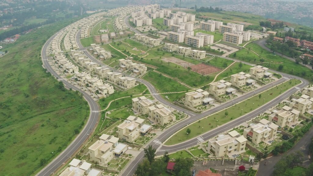
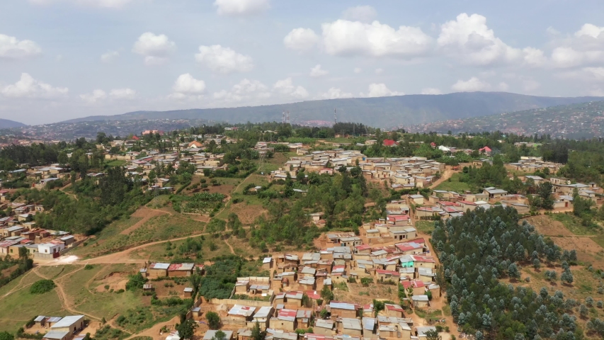
DRONE AERIAL PHOTOGRAPHY
SERVICES IN AFRICA
Our main goal is provide reliable Drone Aerial Photography technology products, services and solutions that meet our clients' needs at minimal cost.
Drone Aerial Photography
Aerial photography, technique of photographing the Earth’s surface or features of its atmosphere or hydrosphere with cameras mounted on aircraft, rockets, or Earth-orbiting satellites and other spacecraft. For the mapping of terrestrial features, aerial photographs usually are taken in overlapping series from an aircraft following a systematic flight pattern at a fixed altitude. Each photograph depicts an area that includes several control points, the locations of which are determined by ground-surveying techniques. A technique known as photogrammetry
